


Purchased Lives
New Orleans and the Domestic Slave Trade, 1808–1865
A groundbreaking examination of America's perpetuation of the slave trade and New Orleans’s role as a hub of slave trading.
The first slave ship bearing African captives to British North America arrived in Jamestown, Virginia, in 1619. Two centuries later, on March 2, 1807, the United States Congress signed into law An Act to Prohibit the Importation of Slaves. The law, which took effect January 1 of the following year, effectively ended the transatlantic slave trade, though American slavery—the racialized system of hereditary bondage under which millions of men, women, and children already lived and labored—remained intact.
In the half century following America’s 1808 abolition of the international slave trade, growing planter demands for laborers triggered the forced migration of an estimated one million people. As the volume of individuals being sent south increased, so too did the efficiency of slave trading firms, such as Virginia-based Franklin, Armfield, and Ballard, which systematized the process of shipping large numbers of slaves from one port to another via coastal vessels. The domestic slave trade wreaked havoc on the lives of enslaved families and communities as owners and traders in the Upper South—Maryland, North Carolina, Virginia, and Washington, DC—oversaw the shipment and sale of surplus laborers to the expanding territory of the Lower South—Alabama, Florida, Louisiana, Mississippi, and Texas—often breaking up families in the process.
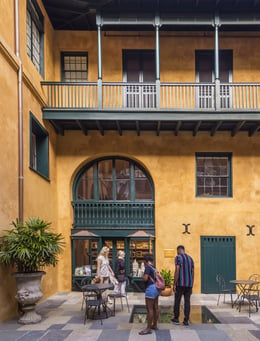
Purchased Lives: The American Slave Trade from 1808 to 1865 examines the lives of individuals caught up in the trade and considers New Orleans's role as antebellum America's largest slave market. The exhibition illuminates how thoroughly slavery was embedded in the United States economy, and it helps us better understand the devastation wrought by the treatment of people as property.
HNOC's Education Department, along with the Gilder Lehrman Institute of American History, created two pieces of curriculum based on Purchased Lives:Torn Apart and Stitched Back Together and Solomon Northup's Efforts to Prove His Freedom.