the new orleans cemetery database
preserving the past
Maps
Interactive Google maps
Click the below links to access interactive satellite maps of the cemeteries. Each tomb is linked to additional information including survey cards and photographs.
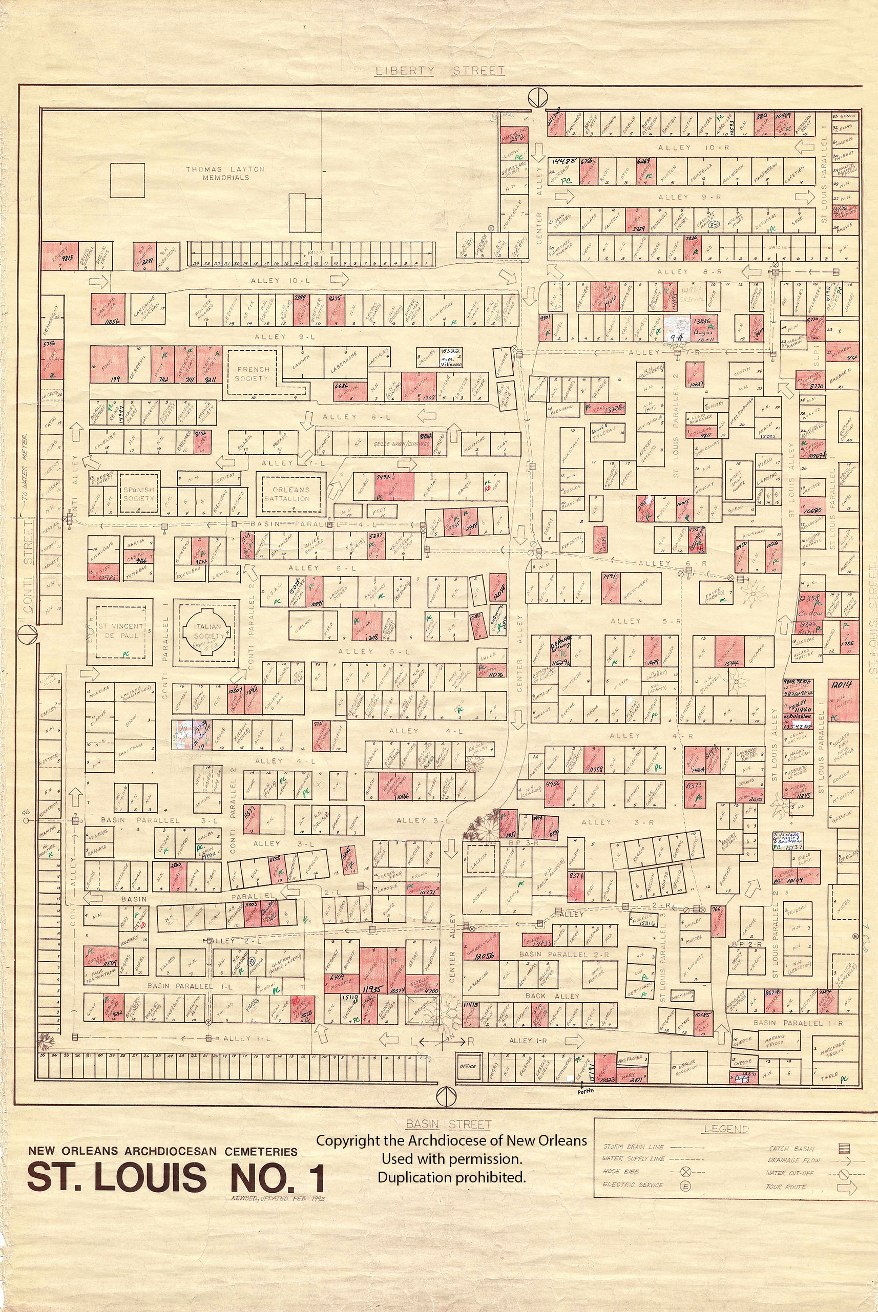
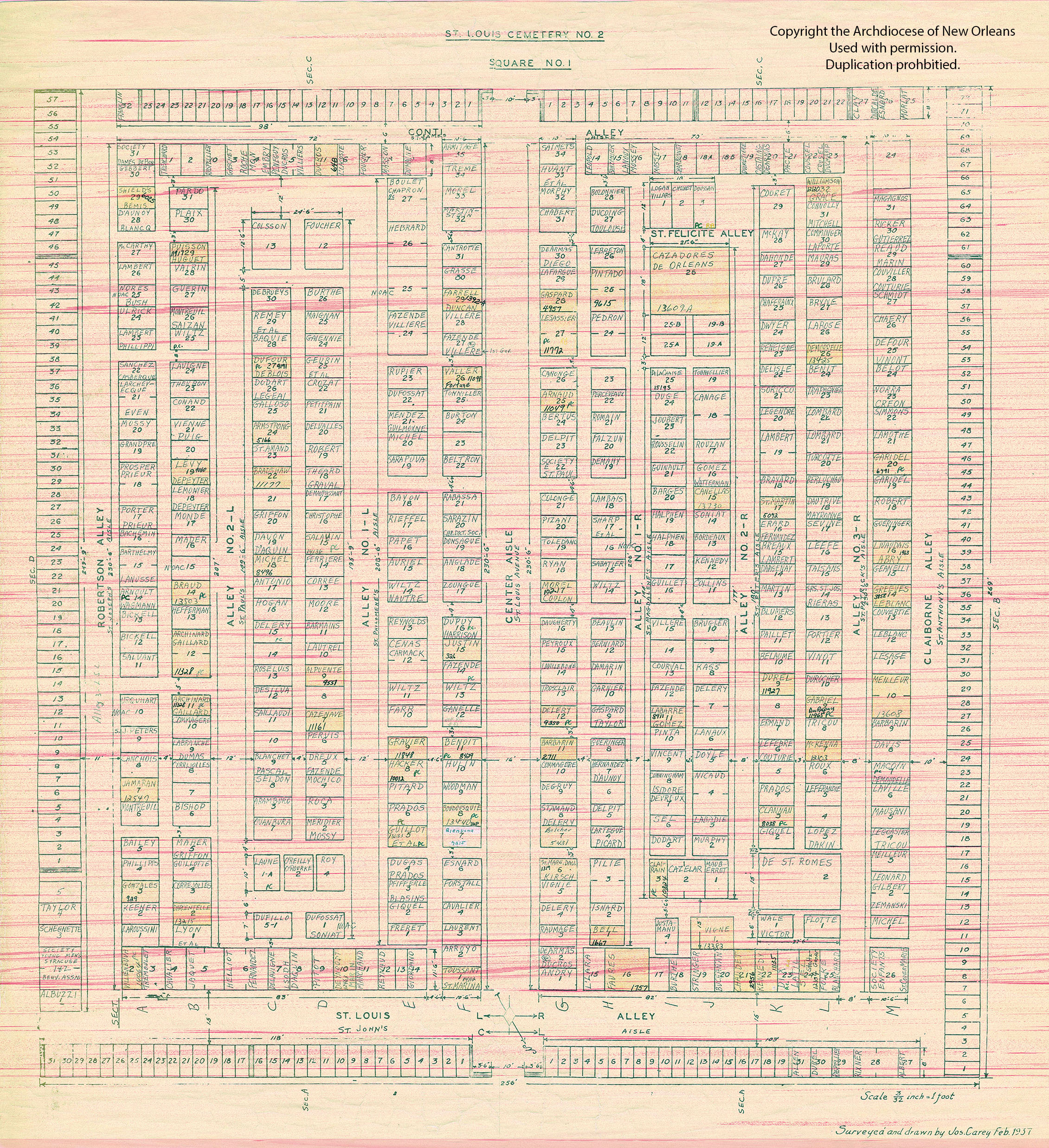
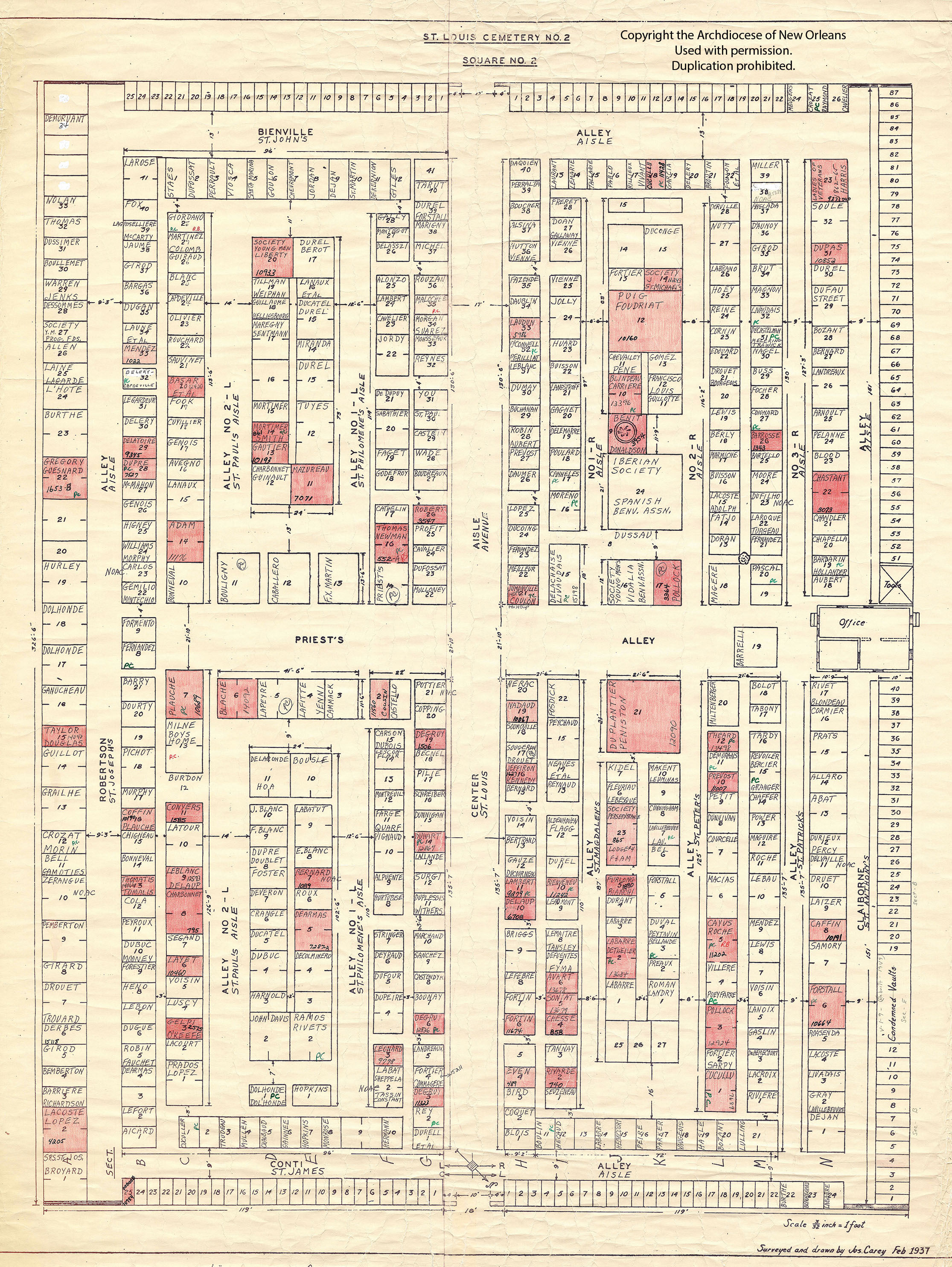
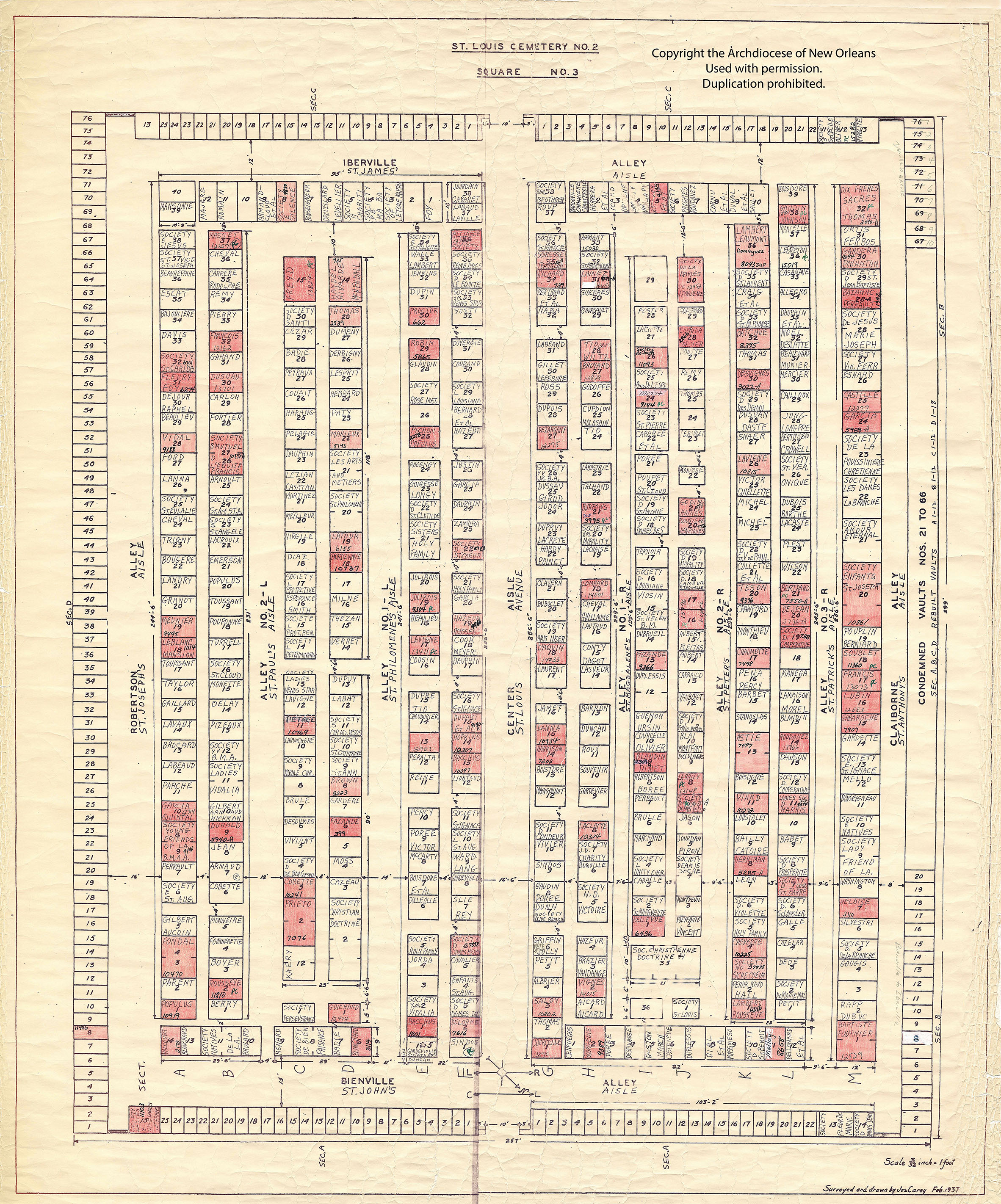
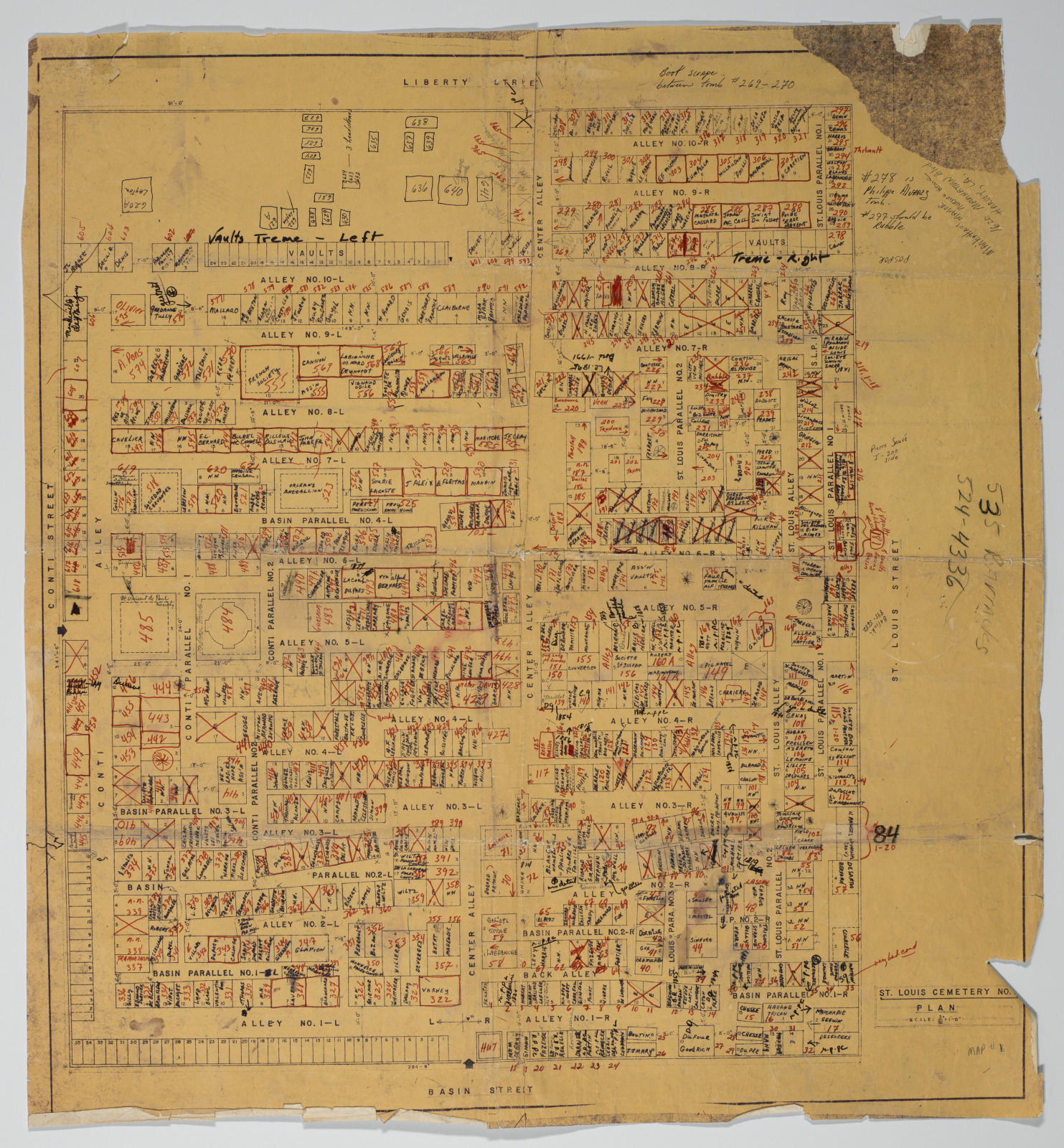
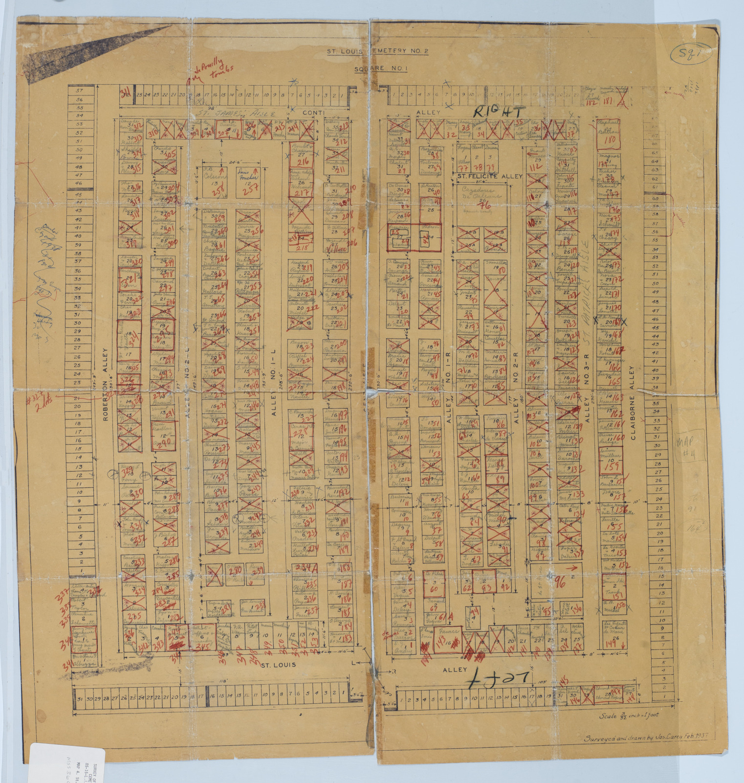
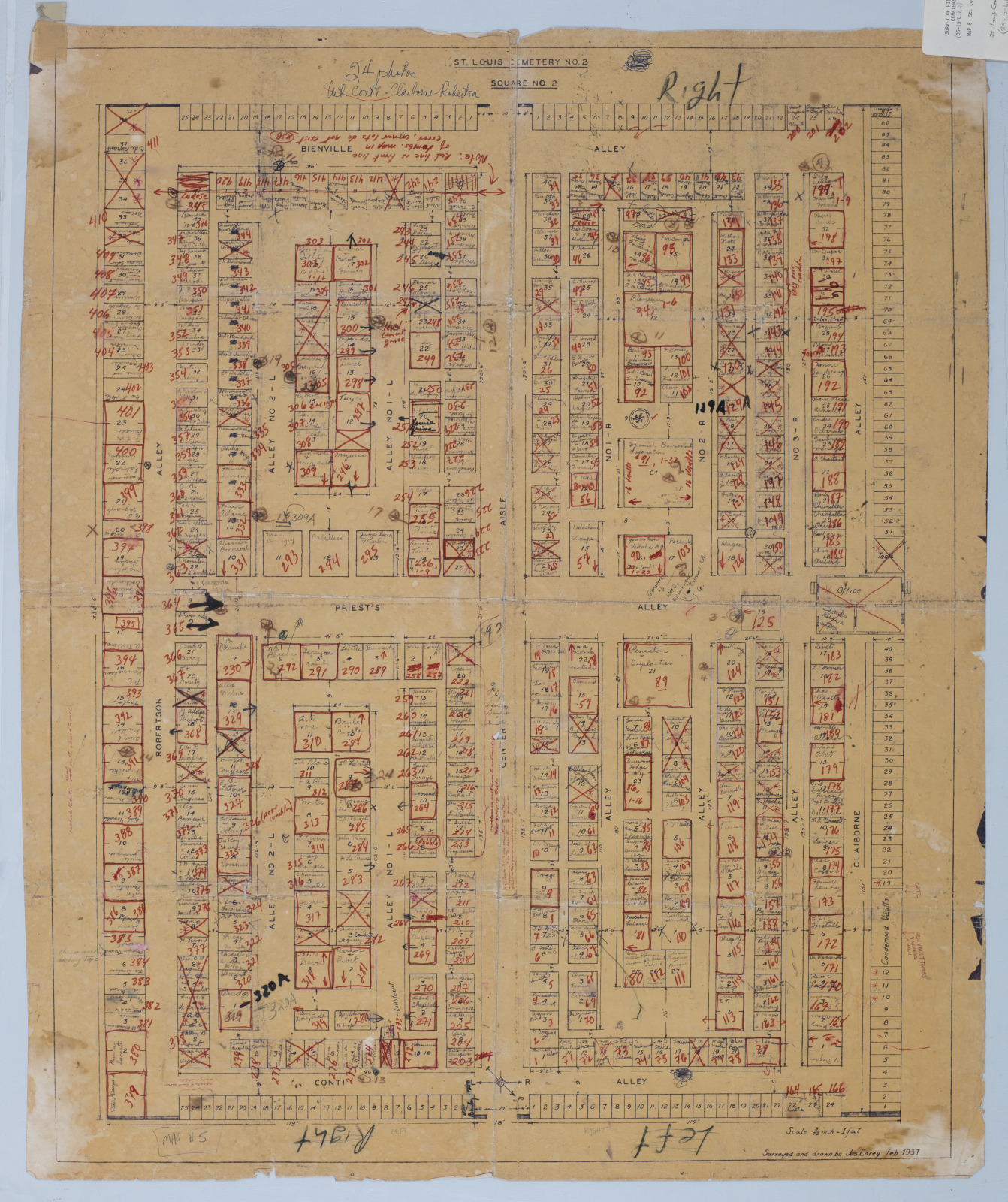
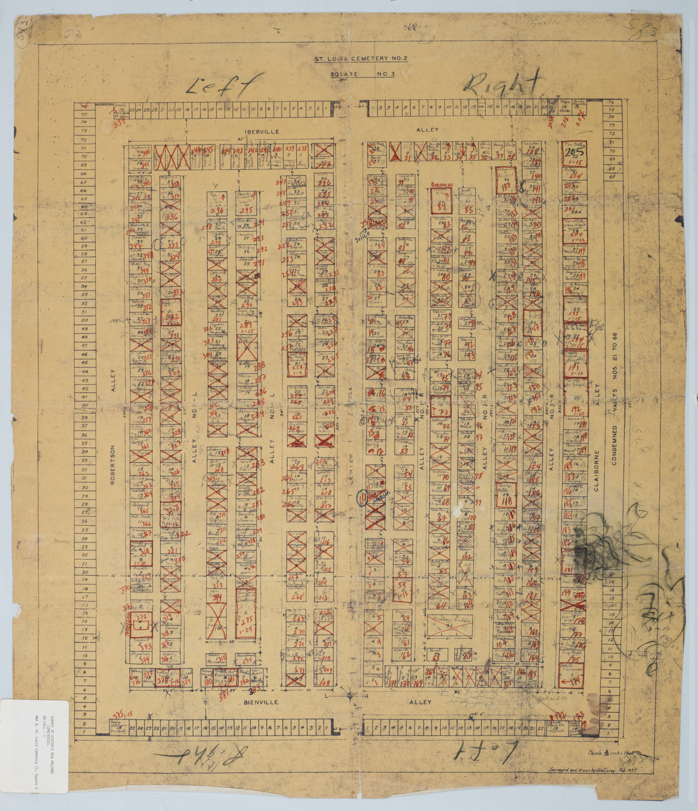
Map Collection Images
The maps provided by the Archdiocese of New Orleans and New Orleans Catholic Cemeteries serve as guides to cross-reference the tomb numbers used during the surveys with those utilized by New Orleans Catholic Cemeteries. In the maps labeled ‘[with THNOC tomb numbers]’, THNOC numbers are indicated in red; a red X signifies the plot was empty when the THNOC survey was completed in the early 1980s.
