
The Collins C. Diboll Vieux Carré Digital Survey is an electronic version of the Vieux Carré Survey, housed at The Historic New Orleans Collection since 1966. Created to bolster local historic preservation efforts, the survey is an extensive study of the properties within the French Quarter referencing essential historical, architectural, legal and sociological data on individual lots and structures from the French colonial period to the present. The materials cited are housed in a number of different repositories in the United States and abroad, including The Historic New Orleans Collection. Unlike the original survey, this version can be accessed through various data elements, including property owner.
Navigating and Searching the Survey
Helpful tips on using this database
History of the Survey Story of the survey
Useful links Links to cited repositories
Popular Searches
French Quarter Map Resources


Search the Survey
Advanced Search
French Quarter Images
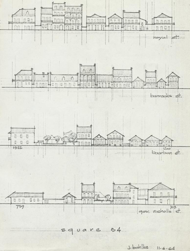
VCS Square 54 Elevations on 4 streets
937-941 Bourbon corner St. Philip
Balconies, New Orleans (620-622, 624 Dumaine)

834 Chartres
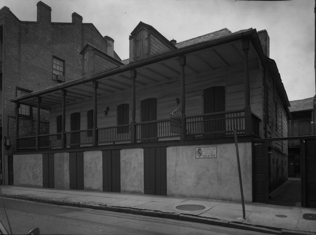
628-632 Dumaine
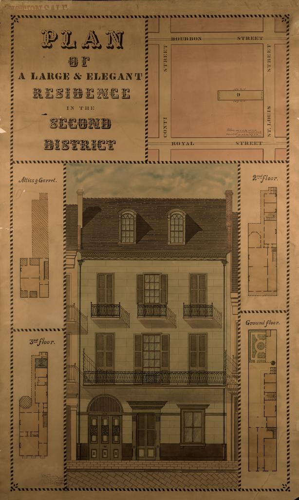
Plan of a Large & Elegant Residence in the Second District (720 St....
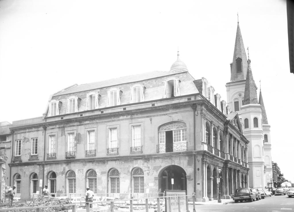
701 Chartres (Cabildo)


1131 French Market (primary address: 1128 Decatur)
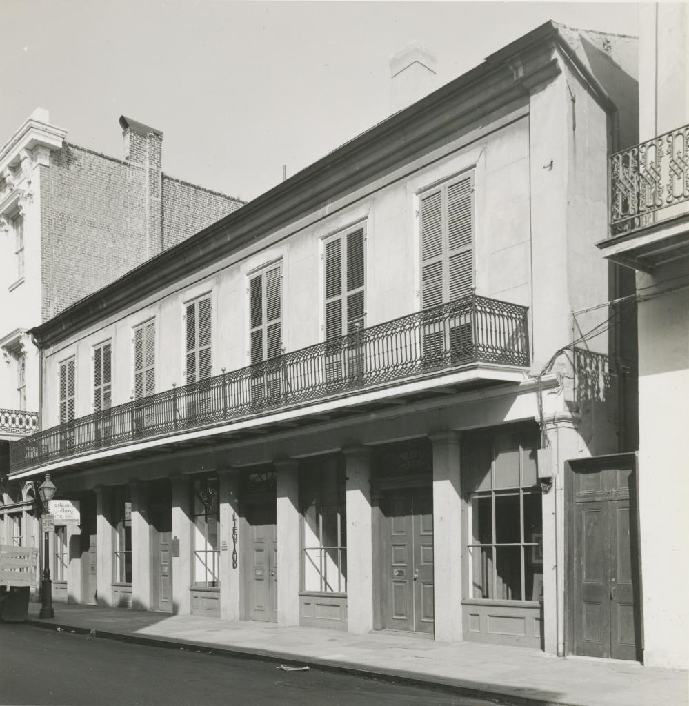
527-533 Royal

941-943 Burgundy corner (1000-1010) St. Philip

1034-1036 Royal

This project was made possible in part through the generous financial
support of the Collins C. Diboll Private Foundation.
Please direct all inquires and questions to reference@hnoc.org
Contact Us | Terms & Conditions | Privacy Policy